State Route 140 serves as a primary access route to Yosemite National Park and has been repeatedly impacted by wildfire activity, leaving behind burn scars that destabilize surrounding terrain. In these conditions, even short-duration rainfall events can trigger sudden debris flows and flash flooding along steep valley walls, creating significant safety risks for motorists. These risks are concentrated along narrow canyon corridors where response time is limited and conditions can change rapidly.
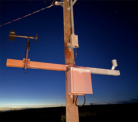
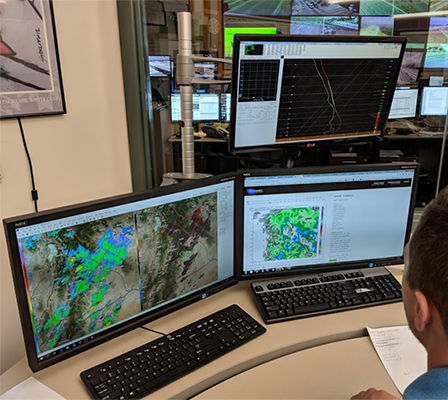
Our group sited, designed, and installed a high-elevation weather station on a nearby ridge to monitor rainfall intensity in real time and identify threshold conditions associated with debris flow events. The system was configured to trigger alerts based on defined short-duration rainfall thresholds, notifying Caltrans, California Highway Patrol, and local agencies simultaneously. During a storm event, these alerts enabled rapid roadway closure and traffic clearing within minutes, followed by coordinated response efforts with Mariposa County and the National Weather Service. Less than an hour after the initial alert, a debris flow overtook the roadway, with no loss of life or property reported due to the early warning system and coordinated response.